

Much has been said about how treacheous Mt. Pulag's Akiki Trail is, one would even think they're being too exaggerated. Truth be told, all that exaggeration is REAL and I think I'm gonna run out of words to describe how hard that damn trail is. It's for the adventurous they say, and I couldn't prepare myself well enough to go on a hike up that killer trail.
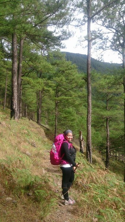
Okay, so I got my dream backpack weeks ago and I don't care if you find me weird when I tell you it was my sole reason why I joined this hike. It's pink, cute and that's totally irrelevant why I'm going to make myself suffer doing a major climb with a 10/10 scale (for me!). So, to make things short, I just thought that an adventure is gonna happen on my 3rd time going to the playground of the Gods.
Yeah, it's my 3rd time climbing Mt. Pulag. The first one happened November last year, which I felt was the luckiest because I saw the best sunrise of my life and the famed sea of clouds at Mt. Pulag. Then on my second climb, which was February this year, we weren't so lucky because it was raining heavily that morning and all we just saw a sea of fog up there. This time, it's different because we're going to hike up a difficult route, dubbed as the 'killer trail' by many. The name speaks for itself though. Akiki Trail can really kill you and your weak spirits. Yeah, I'm exaggerated but like I said, it's the truth.
Now, as usual, we left Manila via Victory Liner bus at 9pm and arrived safely at Baguio by 3am. We then rode our hired jeepney going to Akiki Trail's jump off but we stopped by Manay Gina's place (the most common eatery by Mt. Pulag mountaineers) for breakfast first. After having breakfast, we went to the DENR station for the mandatory briefing of anything and everything you need to know about Mt. Pulag. Then, after an hour of this seminar, we now went to Akiki Trail's jumpoff, where the Ranger Station is also located.
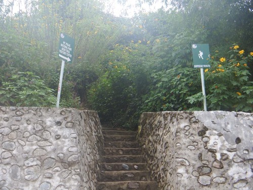
The path going up to Akiki Trail's jumpoff. It does say it's a difficult route though, so I was warned.
We secured our guides and reservation fees here, and this is also where we took our lunch to prepare ourselves for one epic hike.
Ranger Station - Eddet River
From the ranger station, we started trekking around 12pm as we aim to reach Eddet River in 2 hours. The tiring uphill climb from the Ranger Station was short, and vista is truly beautiful.
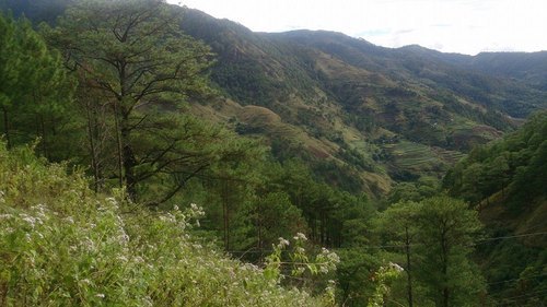
The sun was high up that noon, but the cool breeze made the hike tolerable at this point.
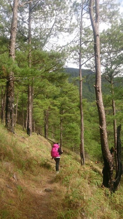
Along the trail, we even passed a graveyard where human skulls and bones are being showed off to tourists. I didn't even bother asking why.
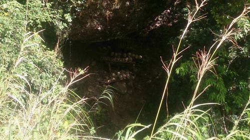
I think that's an ancient graveyard.
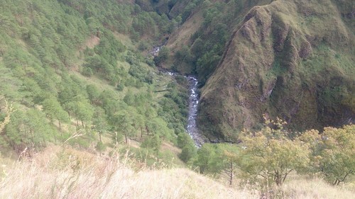
Oh god, I can see the river!!!
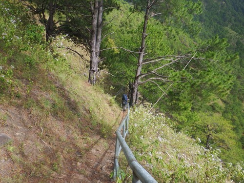
The only part of the trail where there's a steel barricade. Prolly made to prevent others from falling down the ravine, perhaps?
We reached Eddet River around 2pm, and since time was in favor for us, we ditched our initial idea of camping here and just went straight ahead to Marlboro camp, which is just an additional 3-4 hours away.
Eddet River - Marlboro Camp
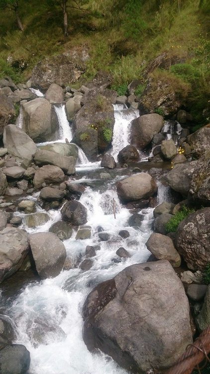
We took a good rest beside Eddet River before pushing with the hike going to Marlboro Camp. We also refilled our bottles with water as this is where the first water source is, the next one is already high up at the Marlboro Camp.

You see that wall of trees over there? You need to climb THAT.
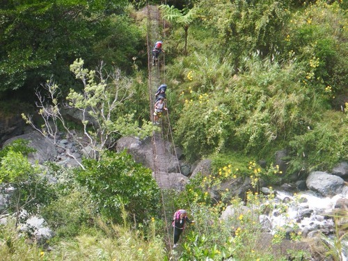
After crossing that rusty, wire bridge at Eddet River, that huge mountain infront welcomed the curious me who kept on asking then where's the goddamn trail. Until my buddy pointed that it's already staring at me right in the face. I have to climb a steep uphill, not around it, to get to the top.
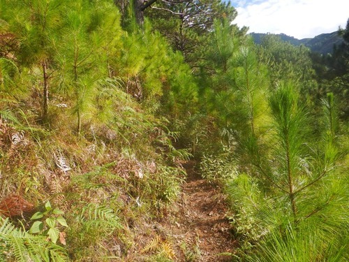
They made tiny steps for me to drag my feet on.
Now the hardest part of my hiking life begins. The trail puts Mt. Natib to shame due to its seemingly never ending assault climbs. No 90 degree climbs though, just pure knee breaking, leg numbing, foot poundering bloody, bloody, BLOODY assaults.
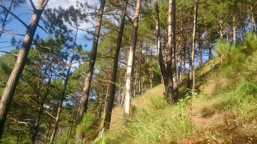
The view from where I stand. Ganyan sya katarik.
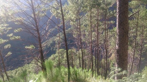
Another view from where I stand. Ganyan sya kataas, hindi mo na makita yung nasa baba mo sa sobrang tarik ng Akiki Trail.
I was crying. Literally. I was crying at every step, thinking why did I ever agree to this shit. My buddy says don't think about how long it takes you to get there, just walk--which perfectly made sense. Ginusto ko to eh. I just kept on walking, like some 3 year old taking baby steps along that winding steep, REALLY steep uphill climb. I felt that I'm already losing it at every step so I keep on taking a break at every 5-8 steps.
Only during breaks, I get to appreciate the grand view of the mountains behind me.
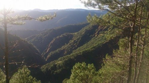
It's just so beautiful!
Then around 5:30pm, we reached Akiki Trail's E-Camp (emergency camp) which is just a small clearing that serves as a start for another gruesome climb ahead. There's no water source at E-Camp though, but there's a restroom in case nature calls. From here, we rested for a bit, stretched our legs and filled ourselves up with what's left of our trail food and then watched the sunset.
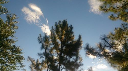
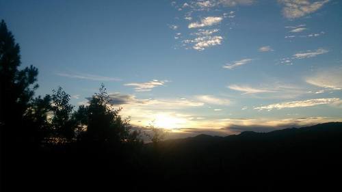
After watching the sunset, I shifted my sight to that wall of pine trees just behind me, I can't help but blurt out a loud T*ngina, assault na naman!

That goddamn trail from the emergency camp is really staring at me right in the face, saying I'm gonna crush your knees and feet, you weakling!
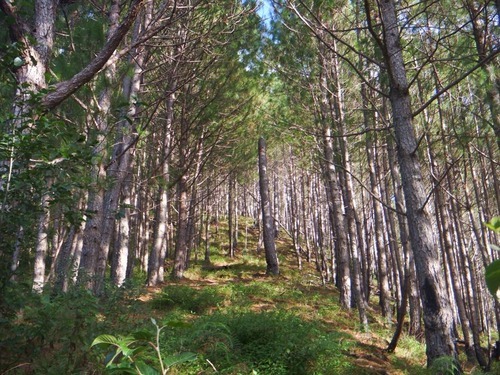
The trail going up to Marlboro Camp.
It was also getting dark when we went up there, and not being able to see well in the dark (I forgot my flashlight) made me even slower. Thankfully, my buddy has one so we still pushed through the night.
Our grueling assault ended at 8:30pm, which is waaaayyy out of schedule. Sobrang bagal ko kasi. I dragged my poor feet towards our already pitched tent and slumped myself inside without even bothering to remove my hiking shoes. It was such a huge relief lying down, hearing the wind against the pine trees and how it brushes against the walls of our tent. It was a peaceful night indeed.
Until my buddies decided to drink to heat themselves up. Good thing were the only ones who camped there, or else we wouldn't be as noisy as we were that night. We're just enjoying ourselves for tomorrow is another day of climbing again. Assault pa more!!
Marlboro Camp - Saddle Camp
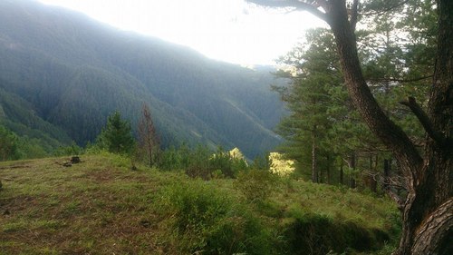
Akiki Trail's Marlboro Camp. The guide says it was those American hikers who named this camp as such due to the those cows grazing around the area.
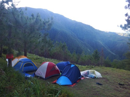
Mornings at the Marlboro Camp.
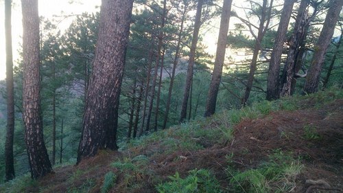
Ganyan katarik naakyat ko... at aakyatin pa ulit!
After having breakfast, the guide and I decided to went ahead of the group because I knew (or everyone knew) that I wouldn't keep up with them anyway, so off we started walking towards the Saddle Camp at 8:00AM. It was only morning when I began to appreciate the view behind me.
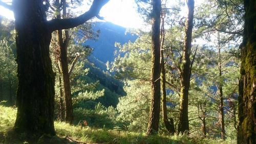
The trail here is as equally beautiful as the first--those glowing pine trees looks so beautiful and the cool morning breeze made the hike bearable this time. Kuya Snider (the guide) told me this is the best part of the hike because of the gradual changes of the trail itself.
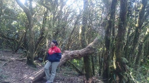
True enough, after climbing another steep trail of pine trees, we found ourselves at the mossy forest. Compared to Ambangeg's mossy forest, this one is denser and some parts are really shady because of the number of mossy trees in the areas. The trail is longer and isn't as steep as the first part, but there's boulders along the way and some elevated parts that that you need to pull yourself up to get to the top.
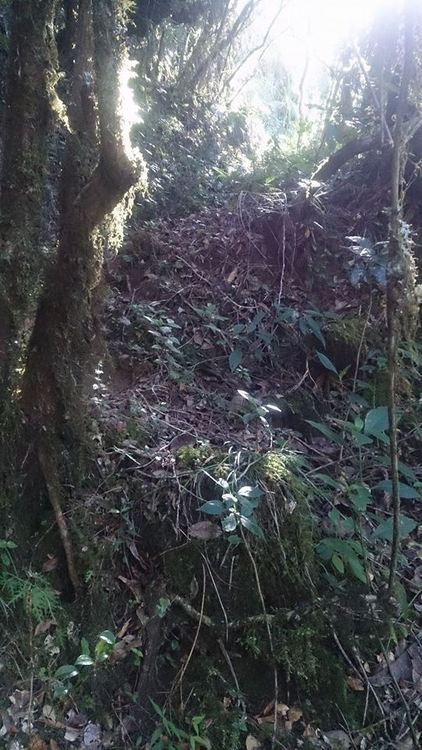
The trail along Akiki Trail's mossy forest. You need to climb this thing. LOL.
Then we got into the only drinkable water source along the trail. There's also another water source near the Saddle Camp but it's only for cooking and cleaning stuff, so with that I made sure I filled my bottle up to last with me for the night.

Photo op at that big ass tree that marks the water source area.
A few minutes from the water source, we are now welcomed by the sun at the grassland trail!
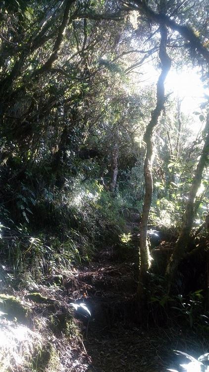
Shit, nakikita ko na ang liwanag!!
But it wasn't the time to celebrate though, the trail is still far. Sobrang layo pa...and there's more to steep slopes to climb AND what's worse, there's NO shade in the grassland. I have to endure steep climbs under the heat of the 10 o'clock sun and taking rests by crouching under those not so tall grasses around.
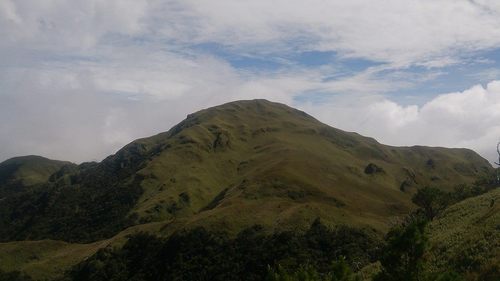
I can see the summit from here!
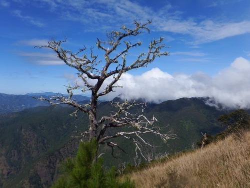
Solo tree at the grassland.
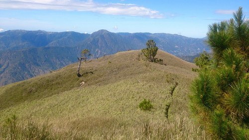
Grassland at Akiki Trail.
Trekking was more difficult this time not because of the trail but due to the sun's heat. I feel like whatever energy's left of me was slowly withering away at each step and to make matters worse, I can't drink too much water because I need to save it to last for tomorrow.
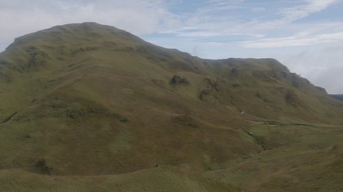
After those seemingly never ending steep, STEEP, steeeeeeep (did I mention steep well enough?) trails, we finally reached the Saddle Camp. Finally being able to reach flat grounds felt like bliss and laying down on the grass while staring that blue sky up ahead has somewhat taken the madness that bitch trail has taken upon me.
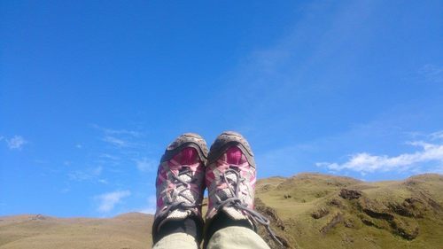
My Merrells and Mt. Pulag's summit.
When we got there at around 12pm, I slept for a good hour before realizing my buddies were already on their way to the Saddle Camp. I could already see them from the mountains, so I saved a space for the nine of us to pitch our tents in. They arrived around 1:30pm and we hurriedly prepared lunch as all of us were so hungry from that truly exhausting climb. Our only reward for that climb was seeing the sunset at the nearby summit. It's so foggy, but we're still able to see the light.
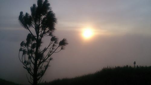
Not all sunsets are the same, and this one looks so surreal.
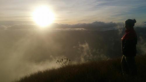
For some reason seeing sunsets gives me so much feels.
LEAVING SADDLE CAMP - GOING HOMEWe all woke up around 4am to check and see if we can catch the sunrise at the summit. Mt. Pulag's first peak is just 15-30 minutes away from the Saddle Camp, compared to Ambangeg's Camp 2, where you need to walk for about 2 hours to reach it. Sadly, the thick fog from last night didn't cease until the morning so we already gave up the idea of catching a great sunrise. We just went on preparing breakfast and packing our stuff going home.
It was a drizzly, foggy morning when we all went up the trail going back to Ambangeg this time. My buddies stopped over at the summit for a photo op at that famous Mt. Pulag's landmark which I have NEVER been to in my three climbs on this mountain. I was too tired for another assault so I told them I'll be going ahead. It took me 2 hours to reach Camp 2 from the Saddle Camp and along the trail I noticed a big difference from my previous hikes along this trail.
The damn trail keeps getting wider! From two lanes, it's now up to five lanes of this muddy trail. I'm not sure if it was made on purpose but it doesn't look good for me though. Upon reaching the base of Camp 2, I stopped to rest for a bit and then continued moving forward.
Along the trail, I met this interesting kid who, at 11 years old, is already climbing Mt. Pulag. Alone. His name is John and he's not with his parents when he went there. He just joined this group of 40 people who climbed that weekend. John became my trail buddy and he's such a talkative kid who has all sorts of stories from how he got into mountain climbing and what are his plans for the future. He was even nice to give me some of this trail food and water when mine ran out. We were together until the end of Ambangeg's trail until I decided to hire a habal-habal for us going down to the Ranger Station.
Upon reaching the Ranger Station, I bid goodbye to my lively trail buddy and he said we will meet someday along the trail of some mountain. Such a sweet kid, I will always remember him and his dreams of conquering one mountain at a time. That's why I love going places, you meet new people along the way that will eventually became part of your lives. :)
---------------------------------------------
Here's our itinerary for the Akiki-Ambangeg Trip. You have an option to camp at Eddet River for Day 1 but it would be so taxing to wake up really early in the morning the next day and spend the entire day (prolly at night too) to hike all the way up to the Saddle Camp. I've also met a few people who camped at the Emergency Camp, just at the base of Marlboro Camp, but then again, it's kinda time consuming if you ask me.
Day 0
2100 Bus from Manila to Baguio City
Day 1
0300H ETA Baguio City, Benguet; prepare stuff and eat breakfast
0315H Load jeep
0330H ETD Kabayan, Benguet
0630H ETA DENR Office
0700H DENR Orientation and seminar
0745H ETD for Akiki ranger Station
1000H ETA Akiki Ranger Station/Visitors’ Center; register and secure guides
1030H Start trek
1230H Eddet River Bridge; lunch
0100H Resume trek to Marlboro Country(steep trail)
1500H ETA Marlboro Country
1530H Prepare Dinner/ rest para sa mga d naman kasali sa food tasking
1830 Dinner / socials
Day 2
0400H Wake up call. Prepare breakfast.
0430H Breakfast
0530H Break camp
0700H Start 3-4 hr trek to mossy forest
1100H Prepare lunch/ rest
1200H Lunch/Power nap
1300H Trek to grassland
1430H End of forest line (2600 MASL); Reach Grassland.
1600H ETA Saddle campsite; set up camp.
1730H Assault to summit. Sunset.
1900H Dinner / socials
Day 3
0530H Early morning trek to summit
0545H Arrival at summit just in time for sunrise
0630H Back at campsite; breakfast
0730H Break camp
0800H Start descent via Ambangeg trail
0900H From Camp 2, resume descent to Babadak Ranger Station
1130H ETA Ranger Stn; Settle guide fees; jeepney descent
1230H At DENR-PAO; tidy up and log out.
1400H Head back to Baguio City
1700H ETA Baguio City. Buy return tickets. Dinner.
1900H Head back to Manila
**Thanks to @jepepips for some photos.


